Trip Facts
- Max altitude:8848m
- Starting point: Lukla
- Grade: Difficult
- Duration: 12 to 15
Highlights
- Experience the world highest peak Mt. Everest
- Wonderful Tengboche Monastery journey
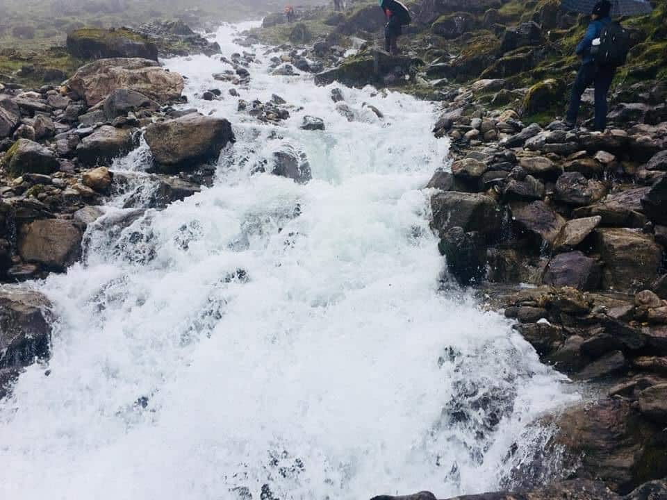
- Witness the bold view of Icefall in Khumbu.
- Enjoy the best things about sherpa logistics.
- Also, experience the local food and drinks in the Sherpa community.
- Khumbu Glaciers, Namche Bazar and see the sunset in Kalapatthar.
Overview
The world’s highest peak in the world is Sagarmatha known as worldwide as Mount Everest With an altitude of 8848m high from the sea level. The south face of Everest lies in the Nepal side on the next side in the North Everest lies in the China side which is regarded as the autonomous state in Tibet.
The earth’s highest peak was being officially measured in 1856 by the British Indian Government with the help of great Trigonometric survey they made it known to be Peak XV with a height of 8840m above sea level. It is measured by the Simple type of technology regarding the distance of the Mountain and it was done really in a phenomenal accuracy which is almost 8 m off from the present time value of 8848m high and the history was made by the British surveyor Sir George Everest in 1856.
He is the general of British India at the time of the survey period and also somewhat he may be a hidden and infamous person in history. In that time Tibet and India are Closed to the foreigners and they have also put the names which are reasonable assume by the local names of different mountains that are in the unknown in nature. Similarly, the highest peak was ultimately chosen regards with to honor and also it was not a big controversy of that time.
In the 1920s there is made a first attempt to climb but it was a complete failure due to end with some kind of disaster. The huge success made on 1953 climbing from the south side which was the same route that we are always taking for the expedition.
The different kinds of approaches done while climbing from the south direction through the Khumbu region in Nepal which ultimately leads to the Khumbu Glacier that extends to the Lobuche at the altitude of 4900m above sea level. It can be accessible with the help of flight to Lukla and also can be done from Lukla trek to the south base camp of Everest at an altitude of 5364m Via from Namche at 3440 above sea level whereas Tengboche at 3660m, Gorak shep at 5140m, Pheriche 4270m, Lobuche at an altitude of 4910m above sea level. It will take almost eight days to complete the journey of this place heading from the point of Kathmandu.
Climbing from the south Elevation
The Trekking in Nepal in the south trail is technically a better trekking route with a few kinds of objective danger. Once a trekker completes their journey from the Khumbu icefall with a few kinds of crevasses and seracs made by the bridge ladders and you may see a couple of different Short made ice cliffs around the camp 3 which is almost protected by the sections of rock with the help of fixed lines.
It can be said as you may be the victim of high Altitude sickness changeable and complications that are really unpredictable in the manner in higher Mountain weather. The section of Khumbu is one of the most dangerous sections to climb by the climbers so that the Sherpa guide made the way by icefall installing the various ladders Along in the way of vertical seracs and across the ladders For the efficient and helpful for the climbers while easy easy climbing.
Some of the arrangements that are needed for the climbing in the Icefall of the Khumbu region possible, relatively safe, efficient during the early morning before the sun wakes up at the time when ice was well frozen. Due to the western aspect, the icefall of Khumbu is very dangerous.
More about Everest Expedition
There are different camps with their different height as there is are four camps camp one, camp two, camp three and camp four. Let’s talk about camp 1, It is at the altitude of 6065m above sea level and is lies in the Khumbu icefall which is exposed place and desolate mainly used as the transaction and rest on the directed designation to the camp two at an altitude of 6750m above sea level. At this place, we can also get the heating abience and warm in such areas. At the time of night, we can listen to the murmuring deep sound of crevasses beneath the fixed tent in that area. From this of the direction, we can move to another direction that is base camp two.
Similarly, camp 2 has a height of 6750m above sea level and is 21000ft, situated at the icy mountain Lhoste which is a foot from where we can even move more forward to the next destination. Here are some of the bad clods roll from the low range of Himalayan valleys taken to the bottom two of this camp but some the weather is almost good at all. Here may sometimes the violent of wind that destroys some human contributions or the tents. After the completion of this camp, it will lead to next camp third,
In camp 3 at the altitude of 7100m above sea level which is 22300ft joining the Lhoste wall section Within using the fix4d of rope with some kind of prior acclimatization may come up to us to camp fourth. We have to sometimes ascend to the steep that alloe]w bands pf lose, rotten limestone and down slopping. In this region or the section while the climbers are climbing there is a most probable of the oxygen gas above the basecamp three in some of the cases while it is really needed for the climbers.
As well as in the camp fourth, its height is measured as 8400m above sea level or 26000ft. Their complete submit can be done here by just moving upward or climbing by 500m minimum distance far. This part is the most dangerous and final stage for climbing by the climbers. As in different terminologies, violent winds and besieged by ferocious places are made off.
Some kind of normal and best technique to reach this place is from the via narrow south i.e East partridge and it is also preceded by the direction of submitted by the south at the altitude of 28710 ft. This is most probable way ab]nd almost easy for climbing leading in this way. It is the most natural fact in this real world that late Tenzing Norgay Sherpa and Sir Edmund Hillary made the history of climbing by using the same direction including the rope.